-40%
Silver & gem MINES, near Death Valley, Kingston Range, scarce report, big MAPS!
$ 18.88
- Description
- Size Guide
Description
Scarce 1st edition report & maps pinpointMojave Desert silver mines and gem deposits
Report also shows new unmined deposits; area is near tiny
towns of Tecopa and Baker, Calif., and Pahrump, NV
T
his hard-to-find first-edition report pinpoints mines in a remote
section of Mojave Desert near the tiny towns of Tecopa and Baker, California.
Small detail of color map from pocket: shows areas in red that have high probability of silver (Ag) deposits as well as already known mines and prospects (marked with "x" and number). Numbers refer to descriptions of mines in table at rear of report.
These 255,058 acres of high desert — the Kingston Range — were heavily prospected for lead, silver and zinc from 1900 to 1919. Back then, the now-dismantled Tonopah and Tidewater Railroad provided transportation to the area.
These newer USGS reports — all with the same cover — represent some of the BEST and MOST ACCURATE info on some of the LEAST-known gold deposits in California. Prospectors and collectors who pass these reports over — simply because they are newer — are making a HUGE mistake. Many of these USGS reports are rarer than reports 100 years old. Very few of these were printed.
Silver mines located
Silver mines from that time are located on the map and described in the table in the rear of the report (cover, below left). Just the thing for history buffs, bottle collectors, photographers, geologists, hikers, offroaders, rockhounds, metal detector users, prospectors — just about anyone interested in exploring or learning about old mine sites in this historic area, amid some of the high desert's most spectacular scenery.
Home to beautiful amethyst
The Kingstons are part of one of the largest talc belts in the United States; but they are also home to amethyst deposits that produce beautiful museum-quality crystals and gem-grade material suitable for faceting and for use in jewelry. The area covered by this report is in the southern Death Valley region, near the tiny town of Tecopa, north of Baker, California, and south of Nevada's newest real-estate boomtown, Pahrump (see location map, below center).
Report is hard to find; only two others on ebay in six years
In 15 years of selling and buying California mining items on ebay, I have only seen two others for sale. I know because I sold them. I find one of these about every three years — if I'm lucky. So if you don't want to wait six years or more for another chance at one of these reports, better get in your bid now.
And who knows the condition of the next copy of this report? The previous one was in tough shape. Looked like someone had played tug-of-war with a bear with it. Not this one. It's in near-perfect shape. Yes, it includes the large 18-by-27-inch separate map in the report's rear pocket (see details of map throughout ad).
Pinpoints areas most likely to contain unmined ore
This first-edition report lists existing mines, but it also shows areas with the best promise for containing undiscovered gold and silver (see maps above right
and at the bottom). That's really what sets this report apart from others about the area. Armed with this report, you can explore, prospect and collect at the old sites, but you also can look for new deposits that just may be richer than the old ones.
And the authors of this report didn't just walk around the Kingstons with a pick and shovel — they also used some of the most cutting-edge high-tech methods for locating mineral deposits: semiquantitative emission-spectography, atomic-absorption spectroscopy, fluorometrics, aeromagnetic and gravity studies. Not to worry, though. The report isn't indecipherable geo-babble. The easy-to-use maps show areas of high-and-medium mineral potential in different colors (see map details); red has the highest potential.
Silver mines and prospects covered include the:
Chambers (Crystal Spring) mine
, three tunnels at different elevations; the lower two tunnels trend west and are connected by a winze.
Blackwater mine
, opened in 1914; carloads of ore shipped from here assayed at 12 ounces per ton of silver. Recent assay showed some gold.
Jupiter (Blue Dick, Sunrise, Midnight, Beck) mine
; 86 tons of ore were shipped in 1914.
Momi (Iron Cap, Cherokee) mine
, veins of lead-silver, copper and iron; recent assays showed presence of gold.
To see just how much real estate this report covers, see scan below. Interestingly, roads in this area are plainly marked on the Auto Club of Southern California San Bernardino County road map, so that road map can be used to correlate exact mileages to mines and other geologic features on the maps from this book.
Detail of map from book shows location of Kingston Range in relation to Furnace Creek Road and Tecopa, in San Bernardino County, California, near Death Valley National Park, which is to the west, to the left on this map.
Geology described in detail
Because this is, after all, a book about mining
and
geology, it covers the latter topic in detail, especially how geology relates to the mineral deposits. The Kingston Range consists of a thick section of sedimentary rocks of Proterozoic and Cambrian age that unconformably overlies gneiss, schist and granite of Proterozoic age. The sedimentary rocks include the Crystal Spring formation, Beck Spring Dolomite and Kingston Group Formation of the Proterozoic Pahrump Group unconformably overlain by the Late Proterozoic Noonday Dolomite and undivided clastic deposits of Late Proterozoic and Cambrian age. These rocks are intruded by Tertiary granite porhyry and are unformably overlain by fanglomerate and alluvial deposits of Tertiary and Quaternary age.
Where is it?
The Kingston Range is about 15 miles east of Tecopa near the California-Nevada state line. The Kingstons are about 62 miles from Baker, California, just off Interstate 15, the main route from southern California to Las Vegas. Los Angeles is about 239 miles away; Stovepipe Wells and the famous sand dunes in Death Valley, about 75 miles. However, the southwestern border of Death Valley is only 22 miles away by road.
Detail of map from book shows in red one area most likely to contain undiscovered silver (Ag) deposits.
The area surrounding the Kingstons is remote Mojave Desert wilderness. But paved roads and graded dirt roads do access this area. So the area may be remote, but it is not inaccessible. I mean, did you think you would find gold in a sand trap at Donald Trump's Palos Verdes golf course?
The book:
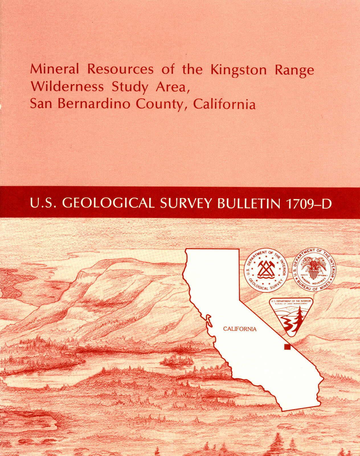
Mineral Resources of the Kingston Range Wilderness Study Area, San Bernardino County, California
, Bulletin 1709-D, first edition, 1987, by James P. Calzia, James G. Frisken and Robert C. Jachens (USGS) and Arel B. McMahon and Clayton M. Rumsey (U.S. Bureau of Mines), Department of the Interior, US Geological Survey, United States Government Printing Office, Washington, D.C., 21 pages, 8.5 by 11 inches. Stapled binding, stiff paper covers. One map folded in pocket. Everything in near-new excellent condition.
As always, I am
extremely
conservative about rating book condition and very detailed in listing any potential flaw, no matter how slight. You get what you pay for. If you want a
trashed book — filled with scribbled notes, dog-eared pages and underlined passages that the seller just "somehow forgot" to tell you about in his ad — then look elsewhere on ebay.
Payment methods
and domestic shipping
Paypal only. I pride myself on bulletproof packaging and ship in sturdy cardboard boxes or reinforced padded envelopes.
The fine print:
Feel free to contact me if you have any questions about the item or terms of sale.
Do not
wait until you have bought it to ask questions.
I post feedback once a week. Not responsible for typographical errors.
We have many MANY more rare mining books! Just visit our ebay store, Rare Mining Books:
http://stores.ebay.com/Rare-Mining-Books?_rdc=1
Where are San Bernardino and Inyo counties?
San Bernardino County is in southeastern California, bounded on the east by Arizona and Nevada; on the south by Riverside County; on the west by Los Angeles and Kern Counties; and on the north by Inyo County. Nearby counties include Imperial, San Diego, Ventura, Santa Barbara, San Luis Obispo, Kings, Tulare and Mono.
Other San Bernardino County cities and towns (besides the ones previously mentioned in this ad) include: Adelanto, Alta Loma, Apple Valley, Barstow, Big Bear Lake, Bloomington, Chino, Cima, Colton, Cucamonga, Essex, Etiwanda, Fontana, Forest Falls, George Air Force Base, Grand Terrace, Havasu Landing, Helendale, Hesperia, Highland, Hinkley, Lake Arrowhead, Loma Linda, Lucerne Valley, Mentone, Montclair, Morongo Valley, Mountain Pass, Mt. Baldy, Needles, Ontario, Oro Grande, Parker Dam, Phelan, Pinon Hills, Pomona, Rancho Cucamonga, Redlands, Rialto, Upland, Yermo, and Yucca Valley.
Towns or population areas in Inyo County include Big Pine, Bishop, Cartago, Cerro Gordo, Coso Junction, Darwin, Death Valley Junction, Dolomite, Dunmovin, Furnace Creek, Independence, Keeler, Laws, Lone Pine, Olancha, Panamint Springs, Shoshone, Stovepipe Wells, Swansea and Tecopa.
Good luck and thanks for looking!
Track Page Views With
Auctiva's FREE Counter
