-40%
RARE Oatman 1923 mining report 1st ed, gold mines PINPOINTED; AZ; Laughlin, NV
$ 48.98
- Description
- Size Guide
Description
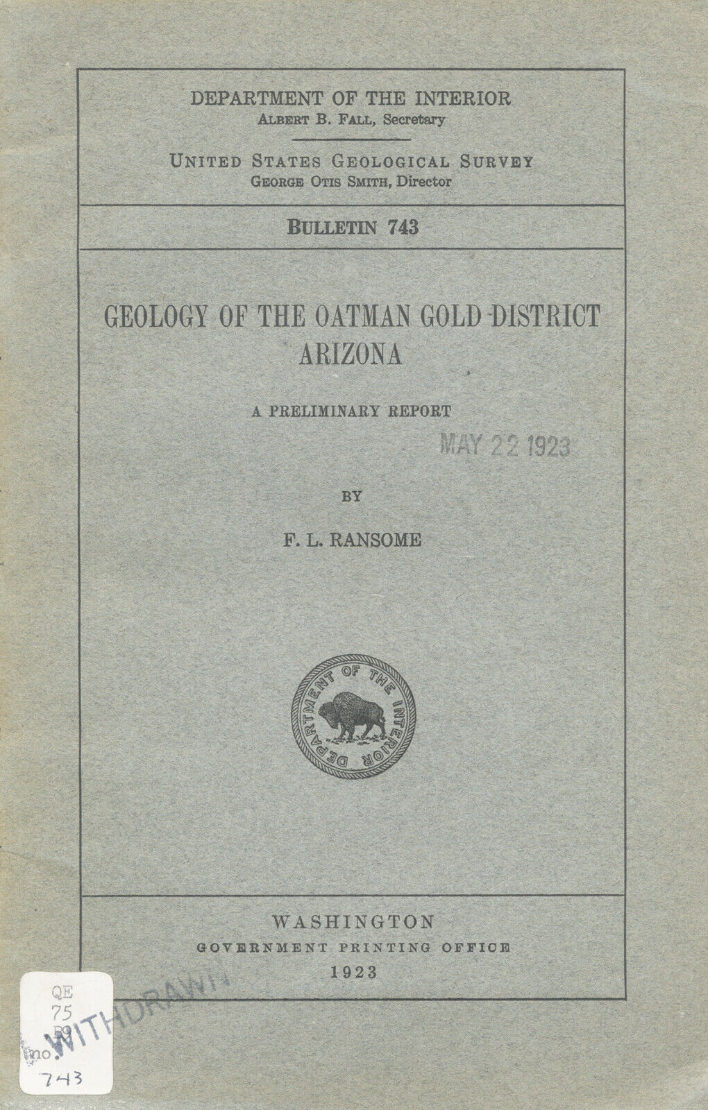
Rare old 1st ed. describes mines and geologyof famous Oatman Gold District, Arizona
Contains 20 photos, four drawings and five maps of mine locations
and underground workings, including two oversized foldout maps
T
his rare 1923 first edition — filled with maps and photos — describes the fabulously rich gold and silver mines of Oatman, Arizona, just across the Colorado River from Laughlin, Nevada and Needles, California.
Small detail of oversized foldout map from report: "Plan of the principal underground workings of the Tom Reed vein and its branches and generalized longitudinal section of the ore bodies." The Tom Reed vein was the district's richest, yielding nearly million in gold and silver up to 1921.
This report, by famous geologist F. L. Ransome, is not some gift-shop rockhound book. It was prepared by the United States Geological Survey 97 years ago. It is a first edition -- NOT the cheesy import reprint that sometimes pops up.
Treasure Trove
It a treasure trove of information for history buffs, stock certificate collectors, bottle collectors, photographers, rockhounds, hikers, offroaders, mine explorers, metal-detector enthusiasts, prospectors, campers, even plain old tourists — just about anyone interested in Oatman's geology, history, scenery and historic old mining sites.
Only town for miles around
Neighboring Laughlin didn't exist back when this report was written. Matter of fact, little existed around Oatman back then, except for unpopulated desert wilderness.
Oatman was not the quaint tourist attraction that it is today. At the height of its brief brush with fame, it was a rough-and-tumble boomtown that had a population of anywhere from 3,500 to 10,000 — depending on who you believe. Droves of miners were lured to the area by the Tom Reed mines, which alone produced ,488,622 in gold bullion up until April 1, 1922, according to the report for sale here,
Geology of the Oatman Gold District, Arizona
. Other sources peg Oatman's total output at million to million for just 1915.
Detail of photo from report: The Gold Road vein as exposed on the Oatman-Kingman Road, looking southeast. Shows the regular zone of sheeting followed by the vein. (Note man posing atop excavation for scale.)
Harder to find than a
snowball in Death Valley
When I describe this first edition as "rare," I don't use the word lightly. It's also in pretty good shape, except for some packing tape that some yahoo used to repair the spine. But I have seen old mining reports like this in far far worse shape. The inside pages and maps are in very good condition.
You won't find one of these in Fast-Draw Eddie's Oatman Gift Shoppe, tucked in between the Slim Jim display and the Sno-Cone machine. So buy it now or forever hold your peace; once it's gone, it's gone. No collection of Oatman or Arizona mining memorabilia is complete without this hard-to-find first edition, which contains geologic information, ore value, mine production stats and history.
This report is considered primary source material. Look in the bibliography of any modern rockhound or prospecting book about Arizona, and chances are that you will see this report listed. The copy for sale here is
not
a reprint. This is the original first edition as originally published in very good condition — some yellowing but no stains.
New rich ore found
The outlook for more gold strikes in Oatman was not especially good when Ransome started the field work for this report on Dec. 18, 1920, but that changed as the report neared completion:
"On the whole, the outlook for long-continued mining on an extensive scale can not be said to have been particularly bright at the time when the field work was finished. At the end of the year, however, two events led to greatly increased activity in the district. One was the finding of a small body of rich ore near the surface on the Stoney-Ferra lease block, on the Tom Reed vein; the other, still more significant, was the discovery of ore by means of the diamond drill on the 600 level of the Oatman United mine, where prospecting had been carried on with persistency long after most of the shafts sunk in the stirring days of 1915 had been abandoned.
"The success of the Oatman United has led to renewed efforts to find additional ore bodies, particularly by diamond drilling, and consequently to demands for information concerning the geology of the district."
Photo from book: View up Gold Road Gulch, showing the surface relations of the Gold Road mine. All the rock included in the view is the Gold Road latite. The general easterly dip of the flows is distinctly shown. (Cross-hatching on photo is from scanning process and is not evident in the real photo in the report.)
Veins covered include the:
Aforementioned Tom Reed vein
(includes the American, Aztec, Big Jim, original Tom Reed or Benjamin Harrison and United Eastern veins). By far the most productive, this vein had yielded million by 1921.
Gold Road vein, about 1.5 miles northeast of the Tom Reed
. Vein consists generally of many layers of fine-grained flinty or chalcedonic quartz, so that the vein in cross section is beautifully banded in white, pale yellow, green, buff and dark brown..
Moss vein, probably the first to be worked in the district
and yielded about 0,000 in high-grade ore from very near the surface.
Leland vein, a prominent vein that crops out over the summit of Leland Hill
. The vein is one of a group of many branching lodes, including the Pioneer, Lilah, Gold Dust and Boundary Cone veins.
Midnight vein (2.5 miles northwest of Oatman)
and others.
Geology
Of course, since this is a geology report, area geology is covered in detail. The rocks of the Oatman district are a closely related series of Tertiary volcanic flows, with associated tuffs and some subordinate beds of conglomerate or breccia, sandstone, shale and limestone. There are sections on the distribution and character of the principal igneous formations: alcyone trachyte, Esperanza trachyte, Oatman andesite, Gold Road latite, younger volcanic formations, Moss porphyry, Times porphyry, dikes and small intrusive bodies.
Detail of index map from report showing the location of Arizona's Oatman District in relation to the Grand Canyon, Flagstaff, Ash Fork, Peach Springs, Kingman, Chloride and Jerome. Note the lack of towns and cities in the Oatman area.
Where is it?
The Oatman District (see map below) is in western Arizona, in Mohave County, mainly on the western slope of the Black Mountains. Oatman, the district's main town at the time of the report, is 12 miles east of the Colorado River and about 23 miles southwest of Kingman, then the county seat, "which is a thriving town on the main line of the Atchison, Topeka and Santa Fe Railway." Oatman is 16 air miles northeast of Needles, in San Bernardino County, California. At the time of the report, "direct road connection with Needles is made by a bridge at Topock, 16 miles southeast of Needles."
Today, Oatman — with its staged gunfights and wandering bands of hungry burros — is a popular day trip for tourists visiting Laughlin, Nevada; the Lake Mead National Recreation Area; or the the East Mojave National Preserve. Old Route 66 winds through Oatman, which is also famous for being the town where Hollywood's Clark Gable and Carole Lombard spent their wedding night in 1939. Adjacent counties are Coconino, Yavapai and La Paz.
The book:
Geology of the Oatman Gold District, Arizona,
a preliminary report, by F. L. Ransome, United States Geological Survey Bulletin 743, 1923 (first edition), Government Printing Office, Washington, D.C.; 58 pages, six by nine inches, stapled binding, stiff paper covers. Interior and maps are in very good to good condition except for former owner's name stamped in a few places, some slight yellowing throughout (to be expected). All maps and photos intact.
As always, I am
extremely
conservative about rating book condition and very detailed in listing any potential flaw, no matter how slight. You get what you pay for. If you want a trashed book — filled with scribbled notes, dog-eared pages and underlined passages that the seller just "somehow forgot" to tell you about in his ad — then look elsewhere on ebay.
The fine print:
Feel free to contact me if you have any questions about the item or terms of sale.
Do not
wait until you buy the item. Paypal only. I post feedback once a week
Not responsible for typographical errors.
Good luck and thanks for looking!!
Small detail of map from report showing underground workings of Gold Road mine.
Tiny detail from large foldout map in report showing Boundary Cone mine's relation to Gold Dust vein.
Nearby counties and towns
Nearby counties include Maricopa, Yuma, Gila, Navajo and Apache. California's closest county to Oatman is San Bernardino. Adjacent California counties are Riverside, Orange, Los Angeles, Kern and Inyo. Nearby counties include Mono, Fresno, Tulare, Kings, San Luis Obispo, Santa Barbara, Ventura, San Diego and Imperial. Landmarks and population centers in the vicinity of Oatman include: Boundary Cone, Chemehuevi Mountains, Newberry Mountains, Davis Dam, Colorado River Estates, Warm Springs Canyon, Golden Valley, Pebble Lake, Willow Valley Estates, Sacramento Valley and Grasshopper Junction, Turtle Mountains, Pyramid Butte, East Mojave National Scenic Area, Bullhead City, Dolan Springs, Lake Mohave, Lake Mead National Recreation Area and Cholride. Larger Arizona cities — like Phoenix, Flagstaff and Tucson — are several hours away.
Track Page Views With
Auctiva's FREE Counter
