-40%
132 gold mines, Calaveritas Quad, Calaveras County, Calif, RARE report, BIG map!
$ 51.09
- Description
- Size Guide
Description
Rare 1st-ed. report pinpoints 132 gold prospectsin the Calaveritas Quad, Calaveras County, Calif.
BIG separate BEAUTIFUL color map shows mine locations!!
Most placer and mines are located by coordinates;
just plug 'em into your GPS, and you're there!
Small detail of separate map in rear pocket shows gold deposits near the Esmeralda School. Every one of those red "X"s is a gold deposit — and many more are located in the report itself! Map is full color and 28 by 28 inches — and in like-new beautiful shape.
T
his rare first-edition report pinpoints more than 132 separate placer and lode-gold deposits in the Calaveritas Quadrangle, between San Andreas and Angels Camp in Calaveras County, Calif.
Map from report shows location of Calaveritas Quadrangle in relation on county lines and settlements, like Jackson, Angels Camp, Sonora and beautiful Stockton. The drive is also very doable from Sacramento!
Although larger reports exist on all of Calaveras County, none of them contain as much detail as this report, solely about the mineral deposits of Calaveritas Quadrangle. And this is the first and last official state report on the Calaveritas Quadrangle.
The report comes with a gorgeous full-color 28-inch x 28-inch vintage geologic and economic map of the quad in near-fine condition. Even if you could care less about mining, this map would look great framed in any Calaveras County homestead!
Rare first-edition report
This is the second one of these reports that I have seen in 15 years, and I have been collecting and selling rare mining books for almost 25 years now. Don't wait to buy this, thinking another one will pop up on ebay for cheaper? Ain't gonna happen.
Even if it did, do you really want to wait years to find another one? It only takes one or two nuggets to make the price of one of these mining books seem totally trivial. So buy it now or forever hold your peace. Once it's gone; it's gone.
And some of these deposits could prove still to be big money makers, located only about three miles from the world-famous Mother Lode gold belt.
"Extremely rich ore"
And as everyone knows, The Mother Lode belt was not some insignificant dinky deposit, but produced billions in gold since the 1800s.
And good news! As of the date of this report, "many of the workings are still accessible."
Don't be fooled by naysayers who discount this area as short on payouts. Yes, according to this report, "Gold-bearing veins are short and discontinuous." But read on: "Pockets of extremely rich ore are reported to have been found in several mines."
Untapped gold?
Is there any gold still left to be recovered? You bet there is. Every time new water flows through new and old stream areas, it uncovers and consolidates new gold. Plus, prospecting methods have changed radically for the better since 1954 when this report was written. There weren't any gold detectors back then. Portable sluices and efficient dry washers? Forget about it.
Prospectors today can process a ton more pay gravel than 60 years ago. PLUS, gold went for much less money back then. Miners routinely skipped over anything but the richest paydirt, leaving ore behind that today would be considered hugely economic.
As the caption says, area has more than its share of Tertiary stream beds — These are ancient streambeds where the gold gravel was originally deposited.
No guards, fences
or barking dogs
Some locations in this report are completely accessible, deserted and open to
exploring. You can go anywhere you want at these sites and pretty much do whatever you want, when you want, as long as it's legal. (We do not condone or suggest mine exploring; we're talking the aboveground parts of these locations.)
There are no guards, fences, barking dogs or no trespassing signs. All these mines are miles away from any town of any size and are on federal Bureau of Land Management or Forest Service lands. BLM lands are COMPLETELY open to prospecting and mineral collecting.
This 1954 first-edition report has been totally out of print for years, with no official reprints ever issued. It's packed with exact mine locations, geology information, ore
value, mine-production stats and history. This report is considered primary source material; much of this info is available
nowhere else
.
Every gold mine is listed
This 60-year-old report alphabetically lists
every known gold prospect
in the 1954 Calaveritas Quadrangle — over 132 hard rock and placer deposits. Short tabular descriptions of these mines — both famous and forgotten — are in a table
This list gives exact locations of all mining sites, sometimes using landmarks, but almost always using
infallible range-and-township coordinates
. Road names or landmarks may have changed radically since 1951, but these coordinates have not. Just plug 'em into your GPS or look 'em up on the appropriate topo, and you're there!
Also valuable to stock certificate collectors
Because this report lists mine names, it is also a valuable tool for collectors of stock certificates.
This is not some gift-shop rockhound book; it was written about miners for miners by miners. Prepared by the California Division of Mines, it's a treasure trove of information for history buffs, bottle collectors, photographers, geologists, hikers, offroaders, rockhounds, prospectors, metal detectorists — just about anyone interested in learning about, exploring or prospecting old mine sites in historic Calaveras County.
Many mines described, both famous and forgotten
Mines described include the famous and the forgotten. This table also lists sources of further info about many of these mines. How handy is that?
Every "X" on this map marks a gold deposit!
Here are just a few of the listed mines:
Albany, Basco, Cleveland, Clincher, Fairplay, Falcon, Eida, Barking Scorpion, Cowbell, Delmazia, Gaston Hill, Golden Star, Gertrude, Gloy, Great Divide, Gumboot, Hardscrabble (Bull Frog), Hercules, Highland Mary, Hobart, Howard, Indian Creek Gold Mining Co., Joe Dandy, Josephine, Kelly, Last Chance (every area needs a Last Chance Mine), Live Oak, Lopez, Lucky Jim (wonder if this is the same Lucky Jim that had a hugely rich mine in Darwin, Calif.?); Little Hero, Meteor, Pilot, Pioneer, Searchlight, Starlight, Winchester, Wonder, Big Nugget, Blue Wing, The "400," Goose Neck, Grub Hill, Dollar et al and many many more!
Location coordinates and more reading
Of course many of these mines include the location coordinates. For example, the Friendship Mine is located at Section 22, 4 Township north, 13 Range East. Want more info on Buckhorn Consolidated? Just checkout the other listed sources of info: 1899 Register of Mines and Minerals from the California State Mining Bureau; pp. 90-91 in 12th report of the State Mineralogist; and p. 99 of the 13th report.
These references may seem boring to newcomers of prospecting and gold digging, but boy will they change their minds once they dig a little deeper (pun intended). These references are literally worth their weight in gold!
We have many MANY more books about the California desert and mining! Just visit our ebay store, Rare Mining Books:
http://stores.ebay.com/Rare-Mining-Books?_rdc=1
Invaluable info!
Okay, so you have a book by a "noted rockhound" or an "ace prospector." You might get lucky and find a couple of neat places, but you'll also hit plenty of absolute duds. Why? Because what rockhound, mine explorer or prospector in their right mind would give away their favorite productive locations? Not one.
What they will give you are directions to sites that are picked clean or second rate at best. Don't rely on secondhand information when you can get firsthand info from this book. I
guarantee
that most — if not all — tourist-oriented rockhound and prospecting books for this quadrangle have used this 1954 book as a prime source for information.
Many other minerals covered
Of course, this book also covers all manner of other minerals found in this quad: the always exciting sand and gravel, plus asbestos, copper and iron.
Book describes geology in detail
Because this is, after all, a book about mining
and
geology, it also covers the latter topic in detail. Want to know what rocks host gold-bearing ore? It's here. Want to know geologic condition conducive to gold formation? It's here too.
The book:
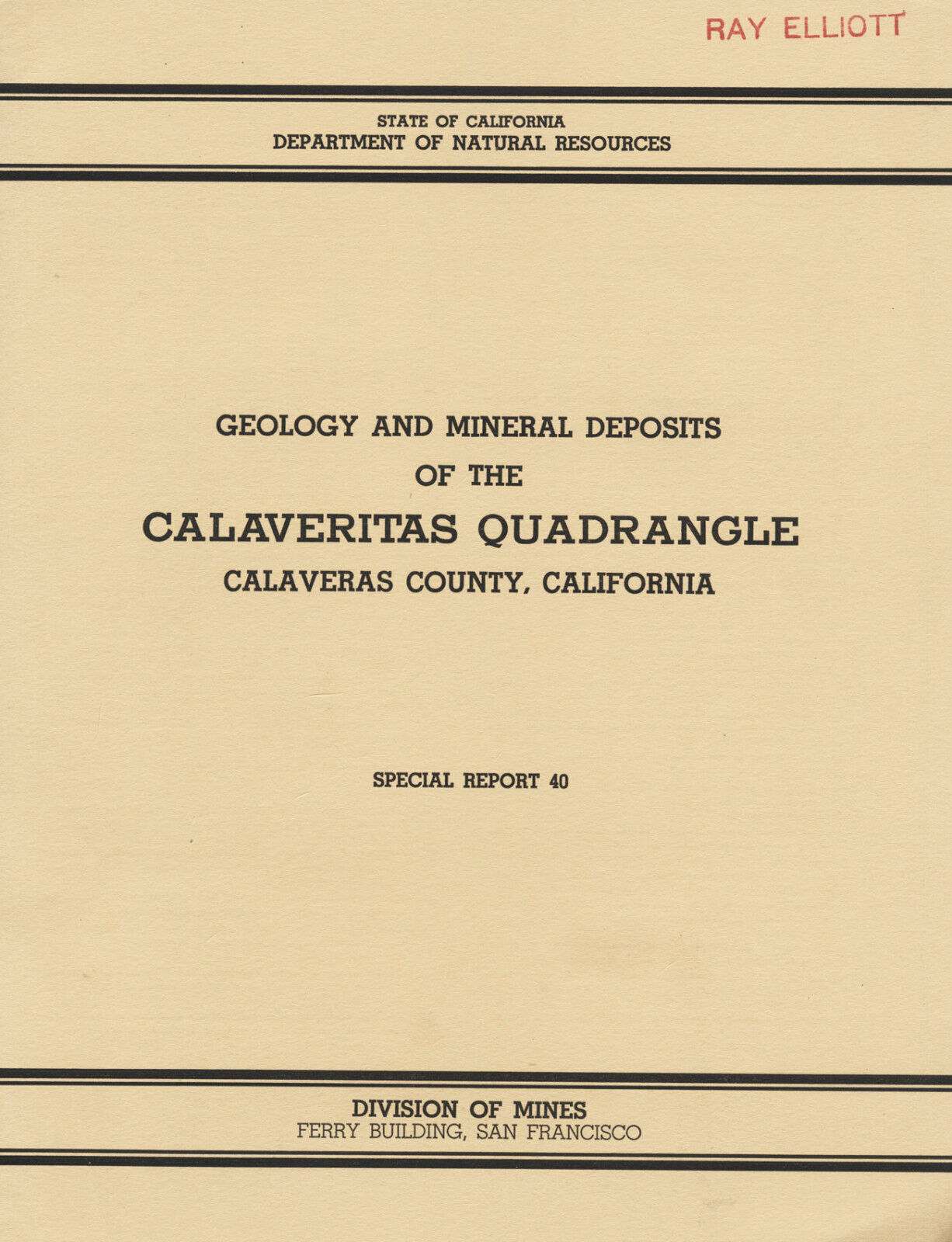
Geology and Mineral Deposits of the Calaveritas Quadrangle, Calaveras County, California,
Special Report 40, December 1954, by Lorin D. Clark (Geological Survey, U.S. Department of the Interior), published by Division of Mines, San Francisco, first and only printed official edition, 23 fact-packed pages, 9 x 11 inches, stiff paper covers.
Stapled binding, NOT a library book, in very good condition. Inside pages are slightly yellowed but otherwise in very good beautiful condition, as is the map, one of the best copies that I have seen. Slight staining on cover in a few places; some cover creases, stamps on cover.
Map is full color and has creases but NO wear tears. Paper is much thicker than many of these maps and shows really no yellowing or discoloring. Colors are striking, and printing is superb. They just don't make 'em like this any more. 28 x 28 inches.
Report says wrongly that there are two oversize pocket maps: "Geologic map of Calaveritas Quadrangle" and "Economic map of Calaveritas Quadrangle." This listing is a typo. Both maps were combined into one map: "Geologic +AND+ Economic Map of Calaveritas Quadrangle, Calaveras County, California."
As always, I am
extremely
conservative about rating book condition and very detailed in listing any potential flaw, no matter how slight. You get what you pay for. If you want a trashed book — filled with scribbled notes, dog-eared pages and underlined passages that the seller just "somehow forgot" to tell you about in his ad — then look elsewhere on ebay.
Payment methods and domestic shipping
Paypal only. I pride myself on bulletproof packaging and ship in sturdy cardboard boxes or reinforced envelopes.
The fine print:
Feel free to contact me if you have any questions about the item or terms of sale.
I post feedback once a week. Not responsible for typographical errors.
Good luck and thanks for looking!
Nearby counties
Other nearby counties include Mono, Inyo and Madera. The area is drained by several rivers — including the Mokelumne, Calaveras and Stanislaus — all of which flow through steep-walled canyons. Calaveras has no natural lakes but does have reservoirs. Calaveras, Melones, Pardee and Salt Springs are the largest. Some of the major cities and towns are: Altaville, Angels Camp, Arnold, Avery, Bear Valley, Burson, Campo Seco, Copperopolis, Douglas Flat, Glencoe, Hathaway Pines, Mokelumne Hill, Mountain Ranch, Murphys, Rail Road Flat, San Andreas, Sheep Ranch, Vallecito, Valley Springs, Wallace, West Point and Wilseyville.
Pencil shows size of this BIG included map: "Geologic and Economic Map of Calaveritas Quadrangle, Calaveras County, California."
